
Assam’s land loss to erosion demands urgent, scientific intervention
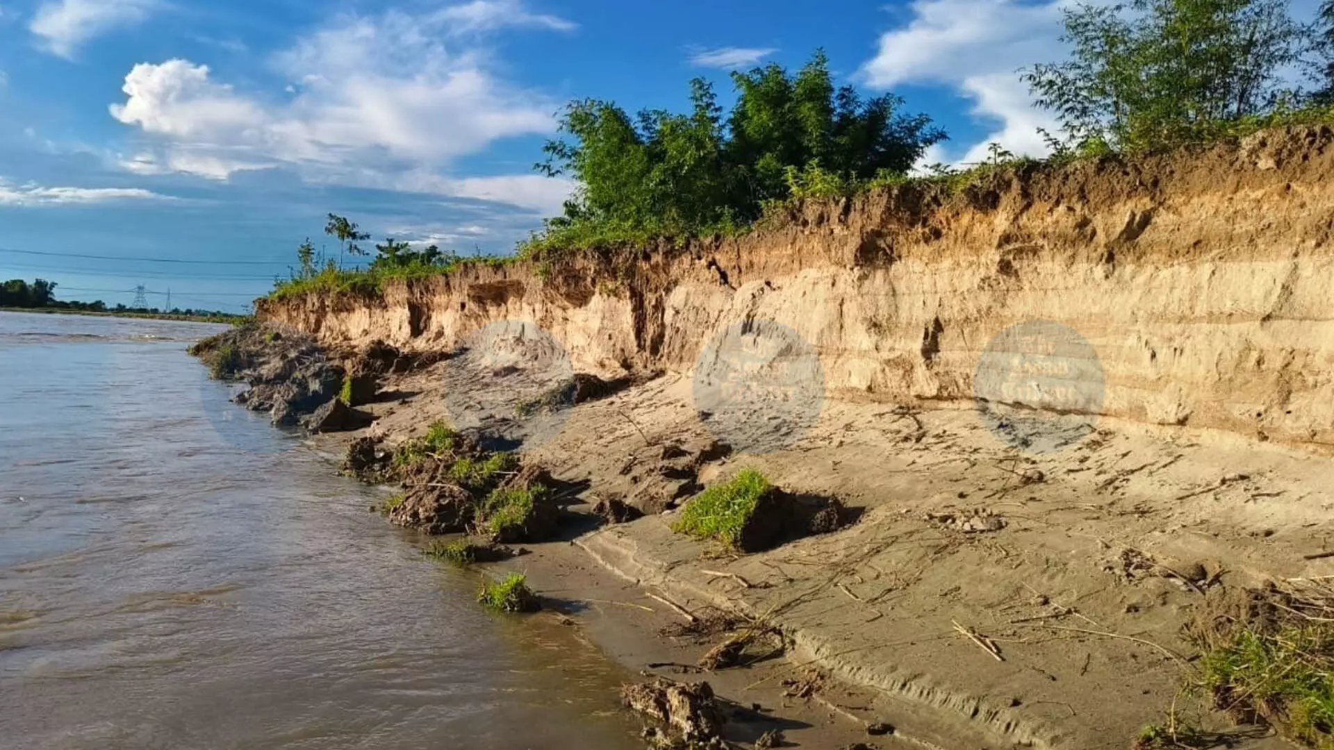
It is utterly disappointing that the people of Assam have had to keep wrestling with natural disasters like floods, riverbank erosion, landslides and other environmental problems year after year, particularly during the rainy season, since the great earthquake of 1950 changed the course of the Brahmaputra and its tributaries. It is high time that the authorities came out with a long-term scientific strategy to mitigate the untold suffering of the flood- and erosion-affected people. Sadly, there is thus far no sign at the end of the tunnel of finding a sustainable solution to address Assam’s flood and erosion problems. The fact that floods are not just far too insidious but also ravaging has become much more pronounced recently when four districts of the State, namely Sivasagar, Charaideo, Jorhat and Golaghat, which were traditionally not affected by floods of such a colossal dimension, confronted unprecedented, widespread devastation as swelling rivers like the Dikhow flowed downstream, and age-old embankments tottered under the mounting pressure of raging river currents, and floodwaters spread across towns, villages and agricultural land in no time. A study reveals that key water-carrying channels like the Desang, Jhanji and Dikhow have lost between 30 and 70 percent of their depth. Resultantly, the riverbeds have become alarmingly shallow. However, the immediate reason for the disaster was without doubt the exceptionally heavy rainfall over Nagaland and its adjoining hilly regions, which caused the monstrous flooding in Upper Assam. The study reveals that within a short span of time, excessive rainfall can cause large-scale damage to public and private property, standing crops, besides claiming human and livestock lives, as is evident from the ferocity of the recent Upper Assam floods due to record rainfall and rising riverbed levels caused by heavy sediment. Flooding is a recurring hazard in Assam; every year, floods wreak havoc on the people during the rainy season. If we make a comparative study of the intensity of the recent floods and those of the previous years the State has experienced, a few crucial things will come to the fore. For instance, due to global warming, changing weather conditions and the lack of an early warning system, the flood situation is worsening every year following torrential rains, making life miserable beyond comprehension for the flood-affected people. To tide over the crisis, the government will do well to draw lessons from the best flood-control measures adopted in other countries and try to thoughtfully replicate them in our State. The government can depute a team of experts to China to see for itself the effective measures it has taken to tame the Huang He river, once called the ‘Sorrow of China’. Experts from IIT Guwahati can also help the State in this hour of crisis by evolving technologies to give respite to the hapless people from this great disaster. After every disastrous flood, it has almost become a ritual for the Centre to depute a team to assess the flood damage in Assam. Unless an effective mechanism is evolved to minimise the impact of the destruction caused by the perennial floods, such assessments would hardly serve any purpose. Bank erosion has proven to be far more menacing and ravaging than floods in the State in terms of loss of land. Once a patch of land is eroded by the strong currents of a river, restoring it is extremely difficult. Former Chief Minister Tarun Gogoi had once said that erosion was more damaging than flooding. To justify his statement, he had pointed out that Assam lost over 4.25 hectares of land, accounting for roughly 8 per cent – a staggering figure indeed – to erosion since 1954, affecting as many as 1.23 lakh families. But what should also be taken note of is that the Gogoi government, which was in the saddle for 15 consecutive years, initiated no effective steps to repair and strengthen as many as 69 embankments breached in 2015 despite the Centre’s release of a staggering amount of Rs 72,000 crore during the same period for the repair of embankments. Undoubtedly, erosion is a more pressing concern. As assessed, the width of the Brahmaputra has, over the years, increased up to 1,500 km at some places due to bank erosion. The total geographical area of Majuli, for instance, was 1,256 sq km in 1950. But, following constant erosion by the mighty river, its size shrank to a jaw-dropping 421 sq km in 2001. The river island, not surprisingly, is facing a massive threat to its existence from erosion. The Brahmaputra has gobbled up portions of the island at Mohorichuk and Charighoria. If erosion of this scale continues unabated, and if the concerned authorities continue to delay taking scientific measures to combat the problem, this tourist spot – a seat of Assamese neo-Vaishnavite culture – may confront a serious existential crisis in the coming years. Dibrugarh is also facing an equally pitiable situation. The Brahmaputra recently eroded around 70 metres of the riverbank at Mohanaghat. As most of the embankments are old and weak, their replacement is a must. As the State does not have adequate resources, it can seek external help from the World Bank or the Asian Development Bank. The sooner Assam’s erosion resilience is enhanced, the better for the State. By Dwaipayan